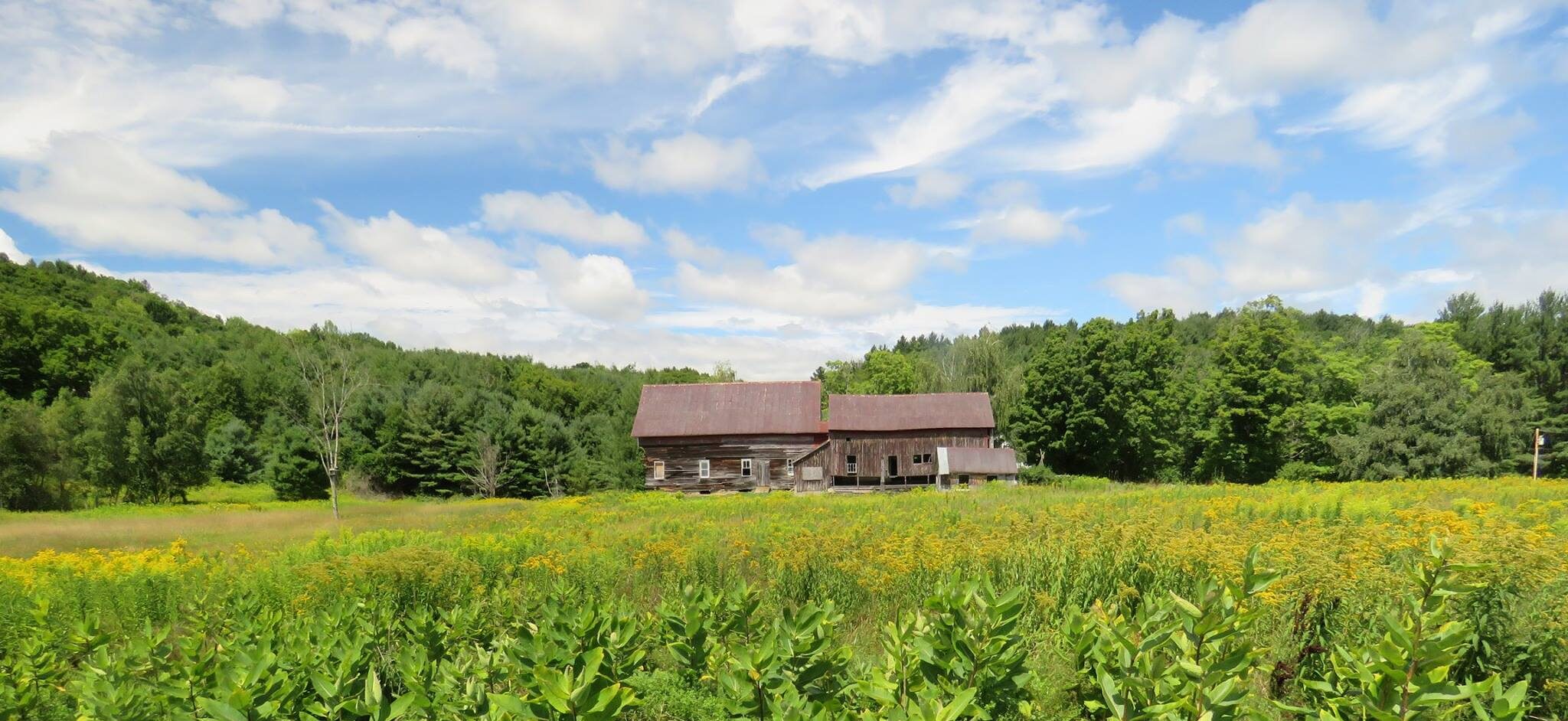
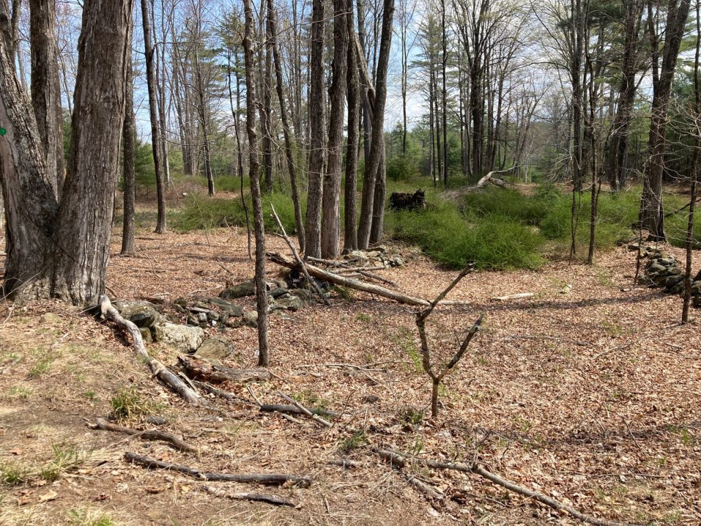
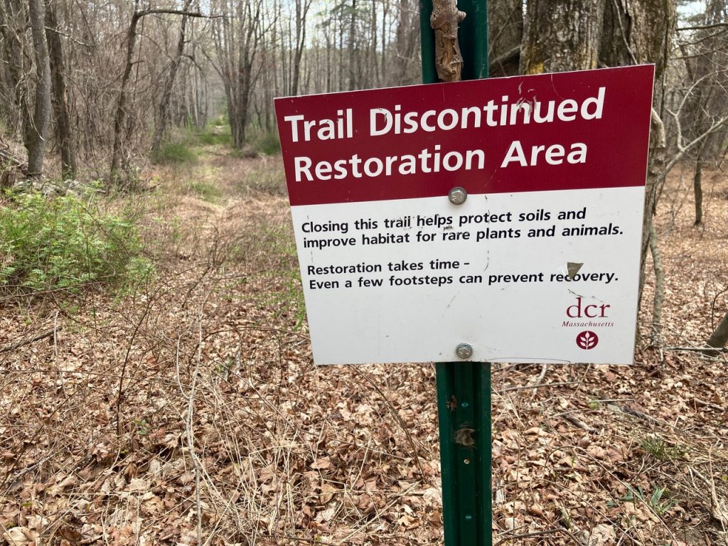
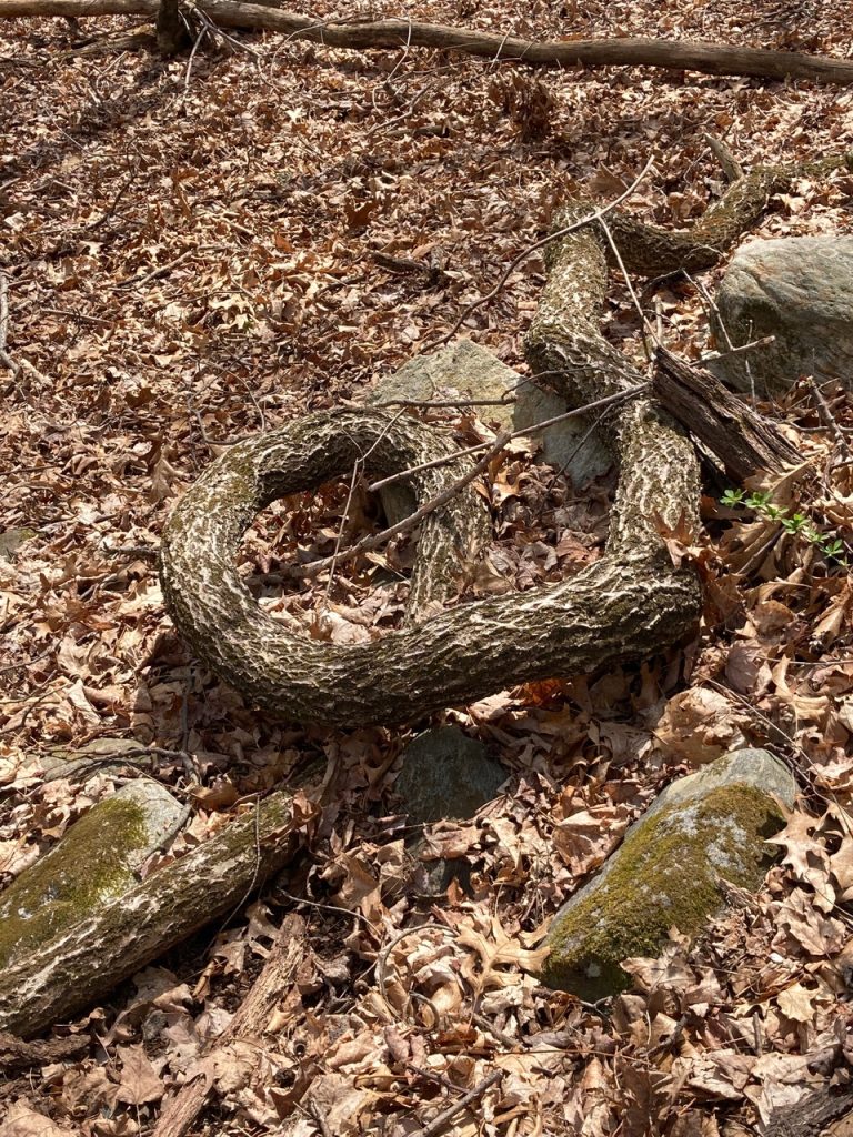
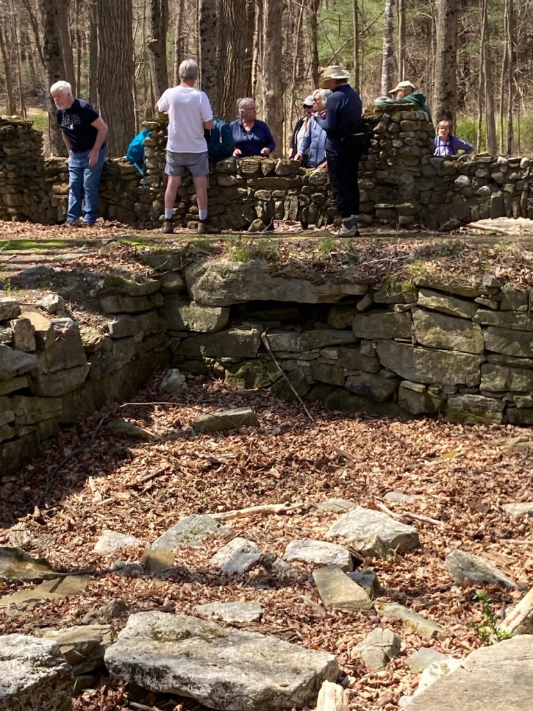
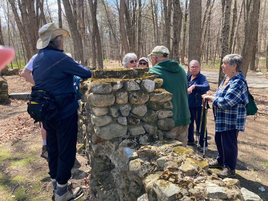
Briefly: 4 towns were intentionally flooded in 1939 in order to create a water supply (a reservoir) for the city of Boston. Today we hiked on good trails where once houses stood. Other whole towns are below the water in the reservoir. Stone walls designate old property lines and an abundance of Barberry (once popular and planted as shrubs, now considered an invasive). Over 83,000 acres make up the reservoir and its watershed. DCR work continues on the above water land. At the start of our hike a grouse joined us and stayed with us for at least 40 feet of trail. Very peculiar…we wondered if perhaps is might have Bird Flu! A fallen grape vine looked very like an Anaconda! A Mr. Powers, with wealth garnered from his factories in Springfield, had an extensive home with field stone porch that once had huge columns. We’re hoping to find photos of it. We ended – and celebrated! – our day with bag lunches at a picnic table overlooking a part of the reservoir . Next week we’ll be off in search of Spring Ephemerals and I really wish you could join us!!! Best, Penny 

Leave a Reply